Selkirk South to Hawick
Busy roads of Selkirk are soon left behind as you climb up a minor road and are rewarded with great views above the town. A few challenging climbs and decents lead toward Ale Water and Ettrick Water, with moorland views.
Route Summary
-
- Distance
- 35 miles / 56 km
-
- Time
- 02:57
-
- Ascent
- 2,525 feet / 770 m
-
- Difficulty Level
- Moderate
-
- Terrain
- Road
-
- Start Point
- Selkirk
-
- End Point
- Selkirk
-
- How to Get There
This route starts and ends in Selkirk, but alternatively could be started from Galashiels Railway Station
-
- Downloads
- Download GPX
Route Map
Gallery

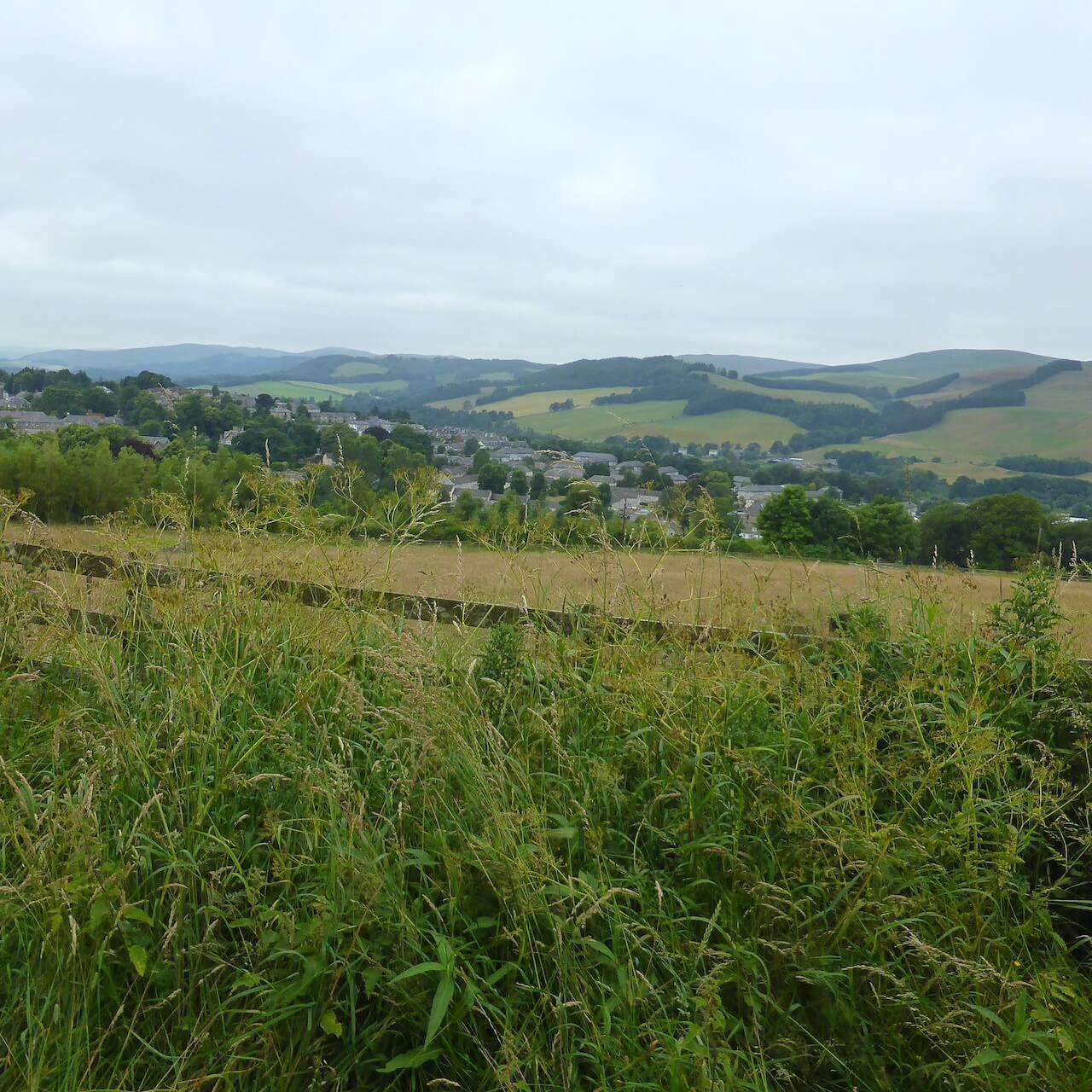
View over Selkirk

Leaving Selkirk

Along the first climb

Rosebay Willowherb

Over Whitlaw Farm

Pasture

Yellowhammer

Hills

Time to mow the grass

Descent
Route Reviews
If you would like to send a review of Selkirk South to Hawick cycle route, please email us