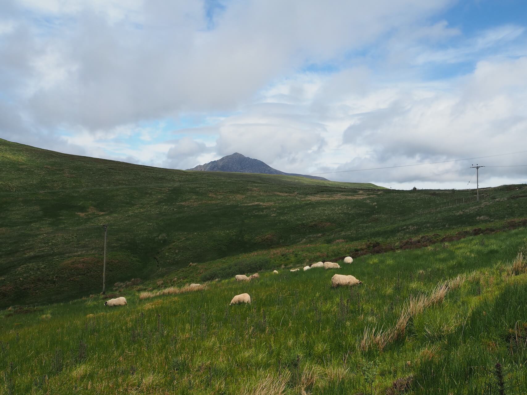
Arran Loop via The Ross Road and String Road
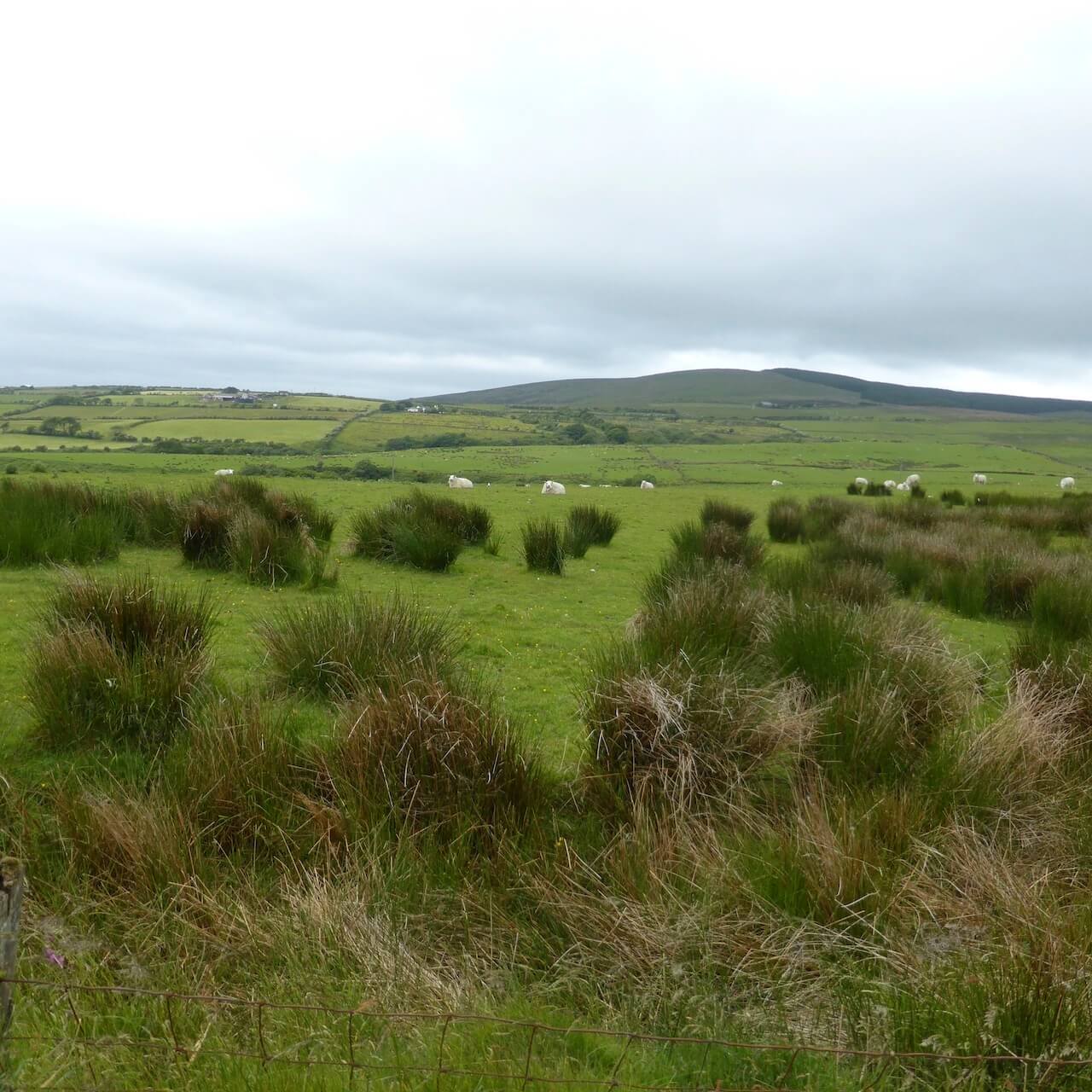
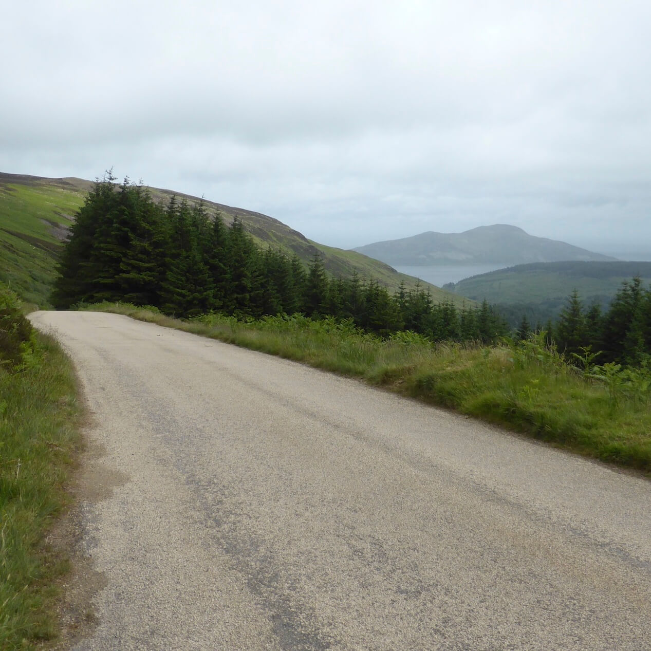
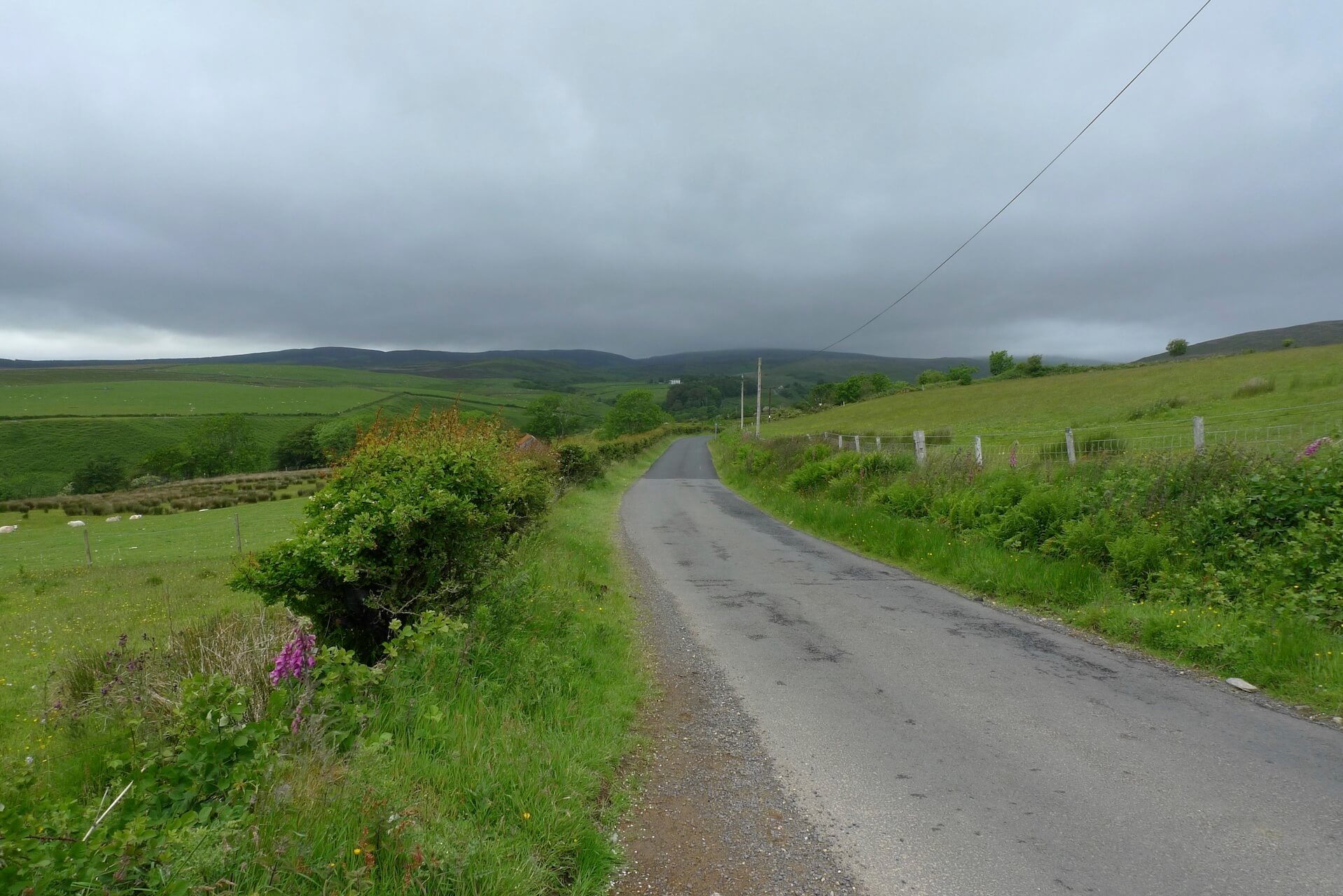
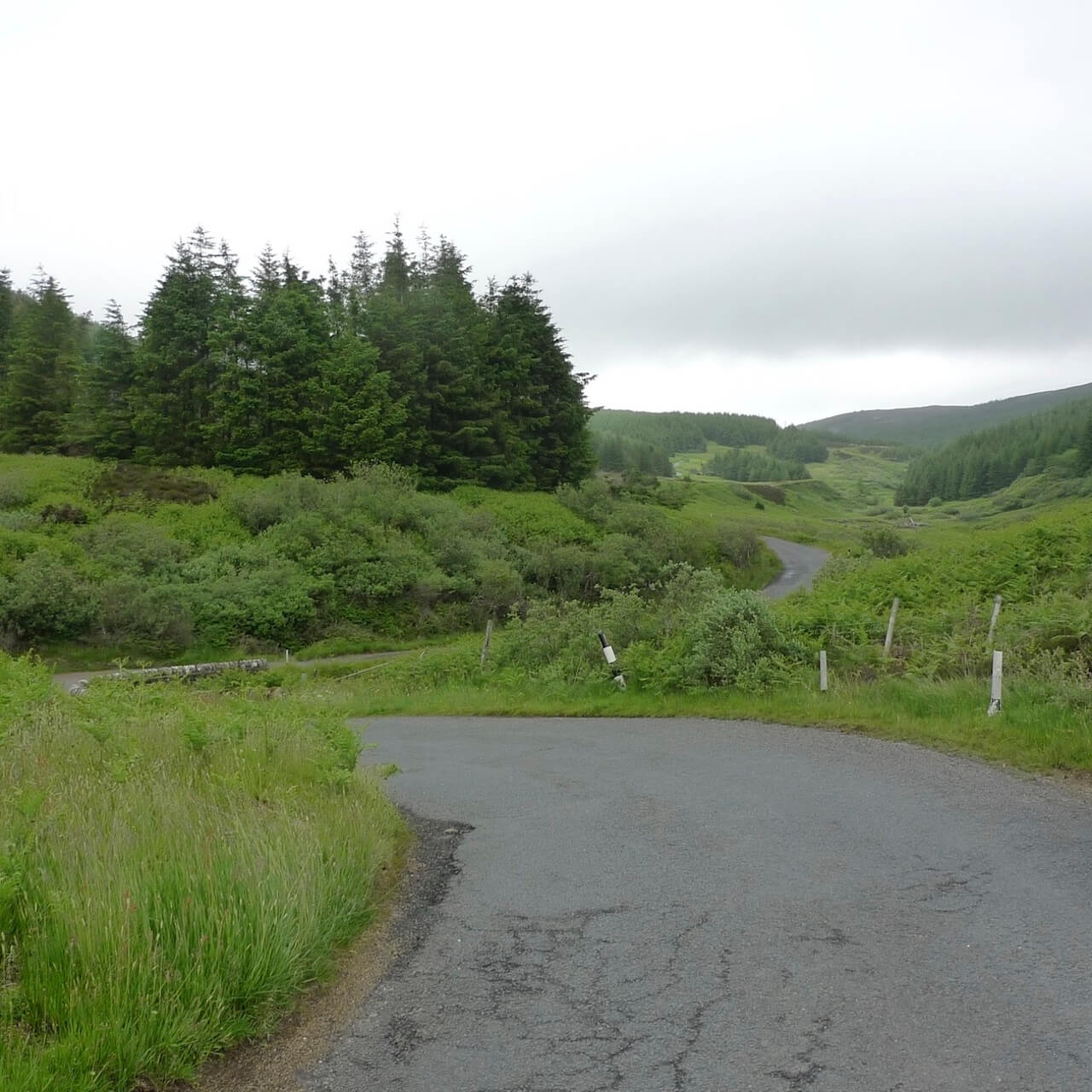
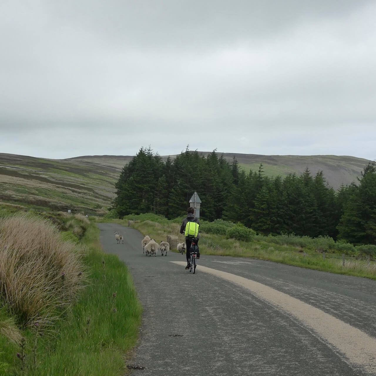
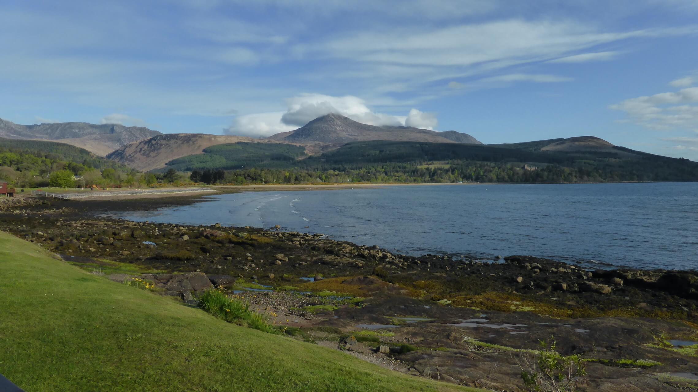
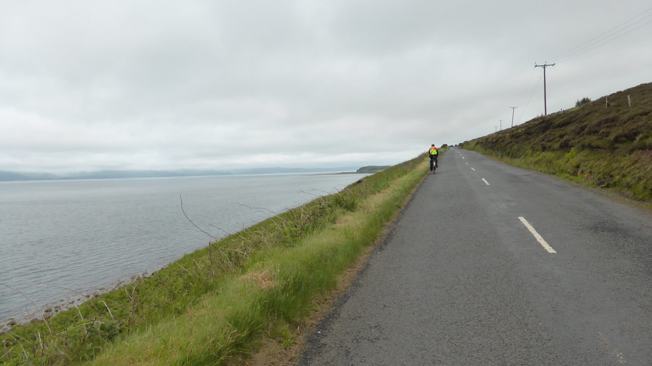
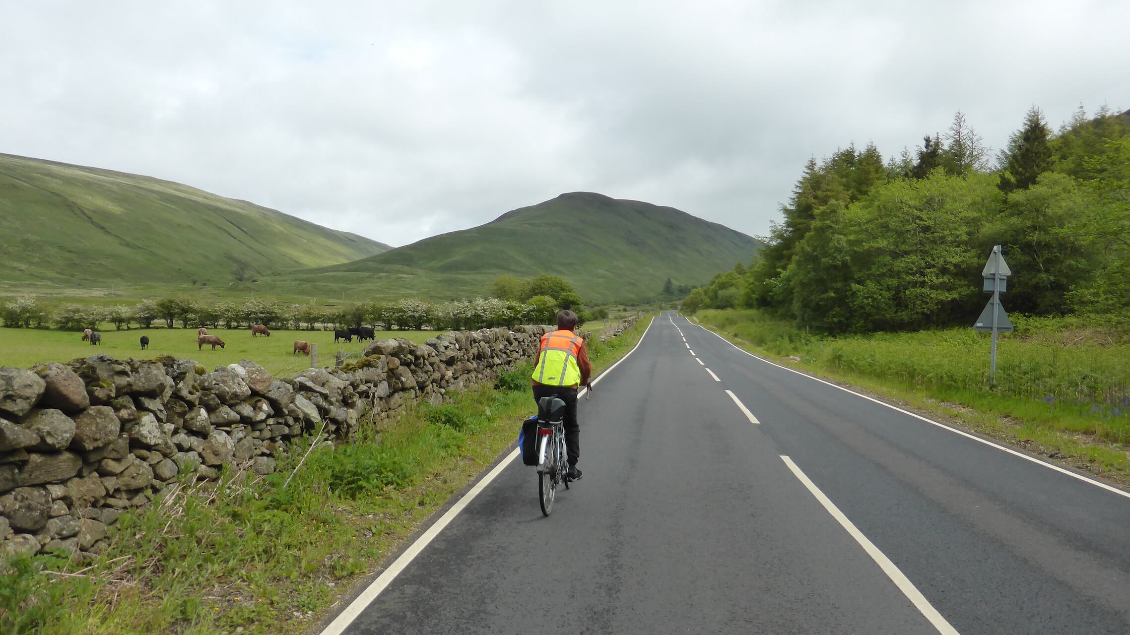
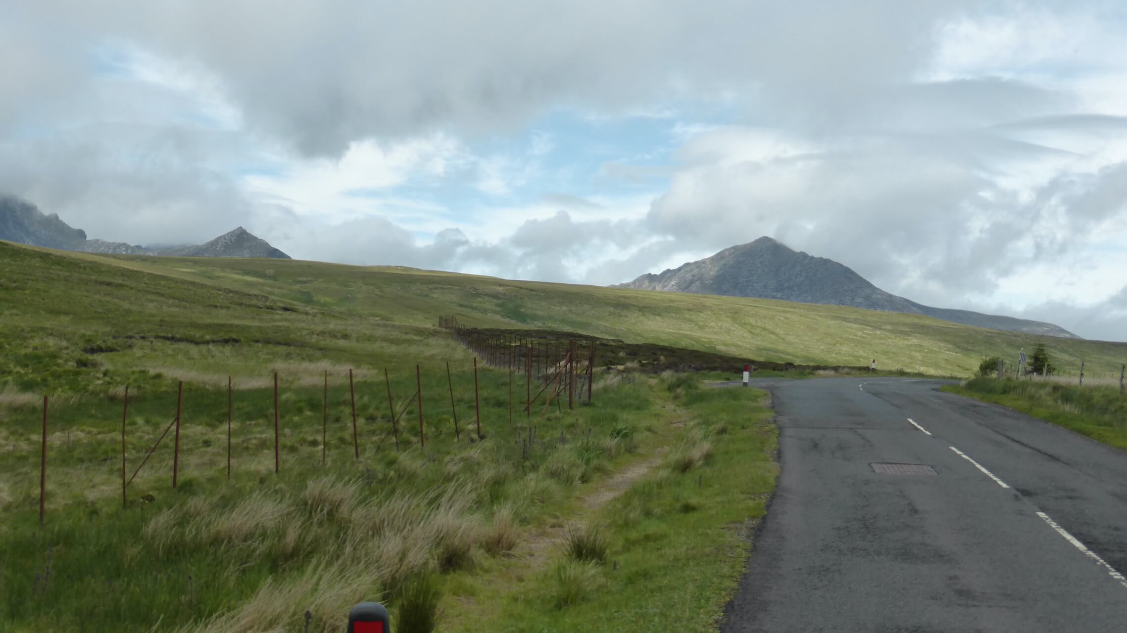
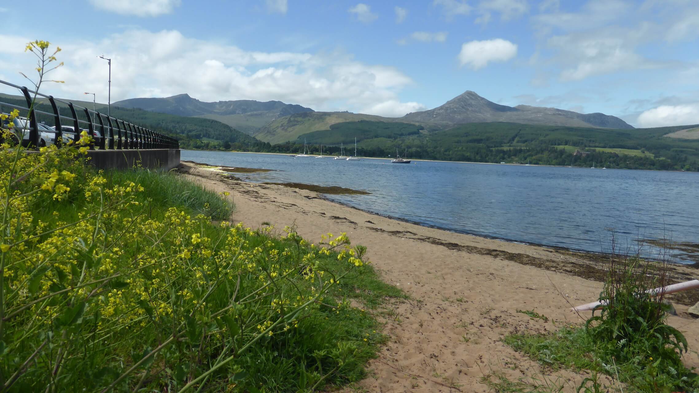
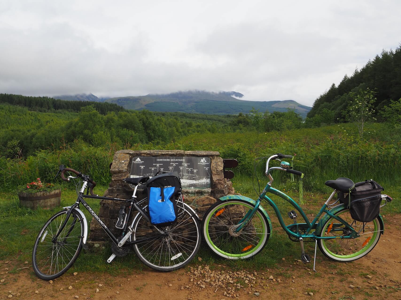
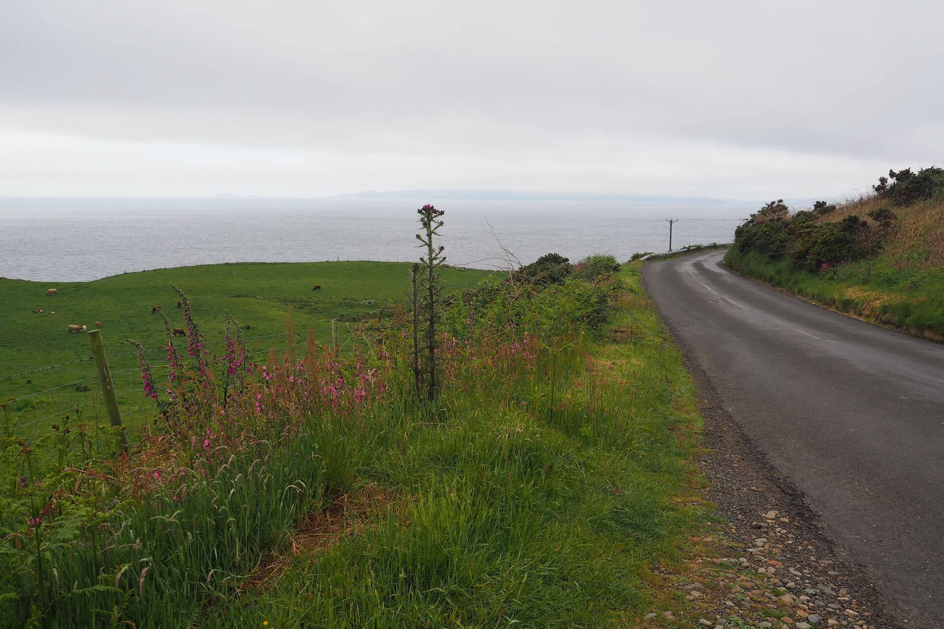
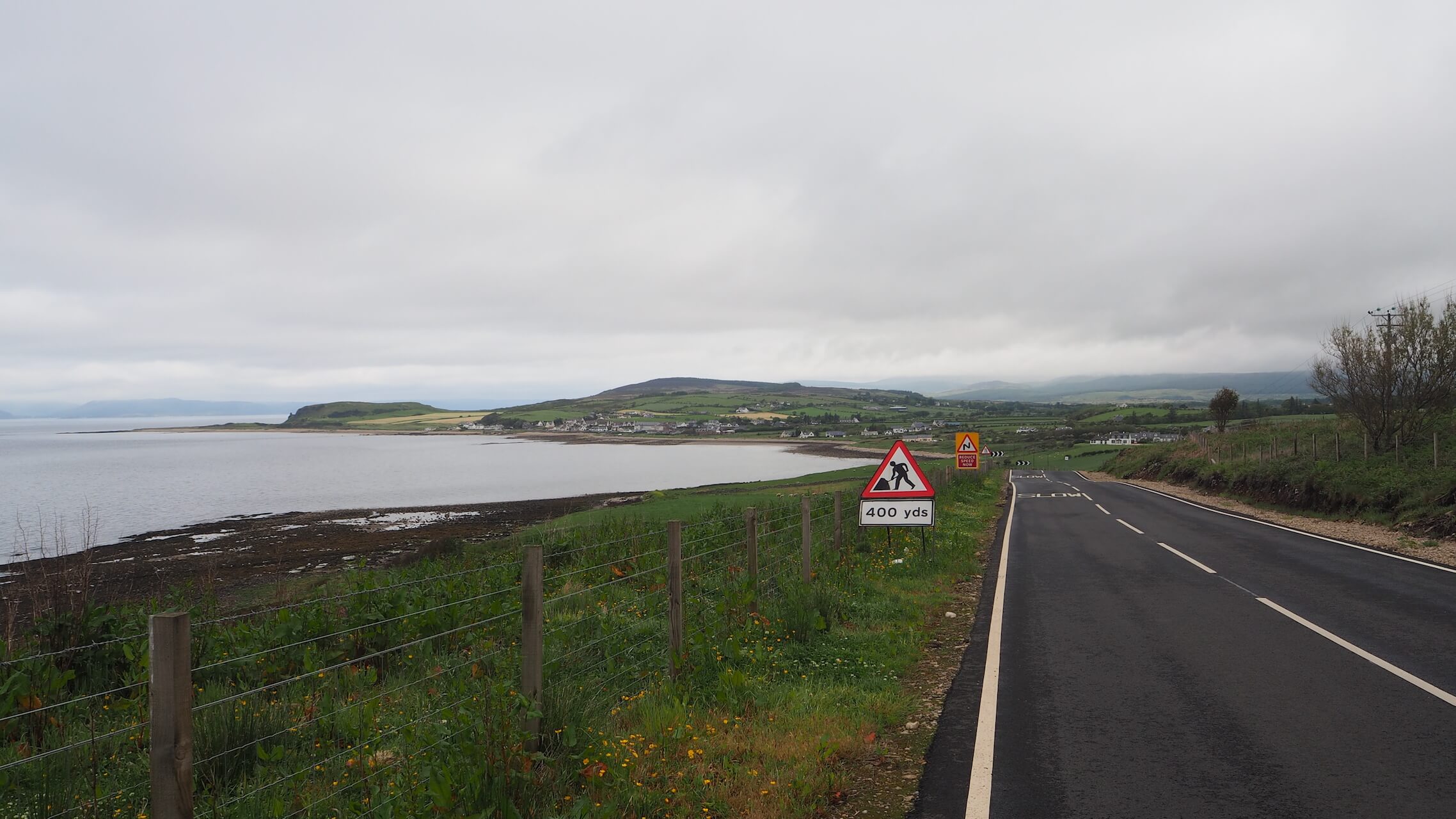
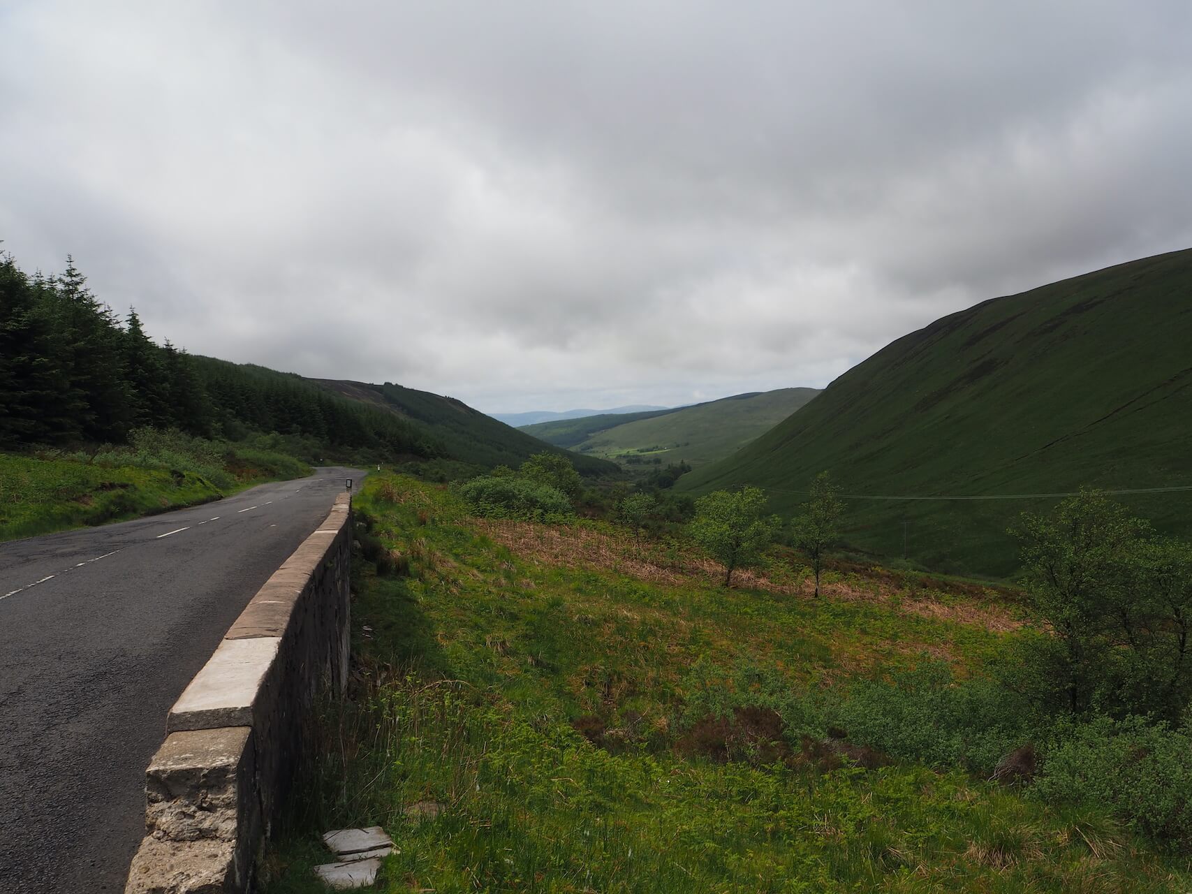
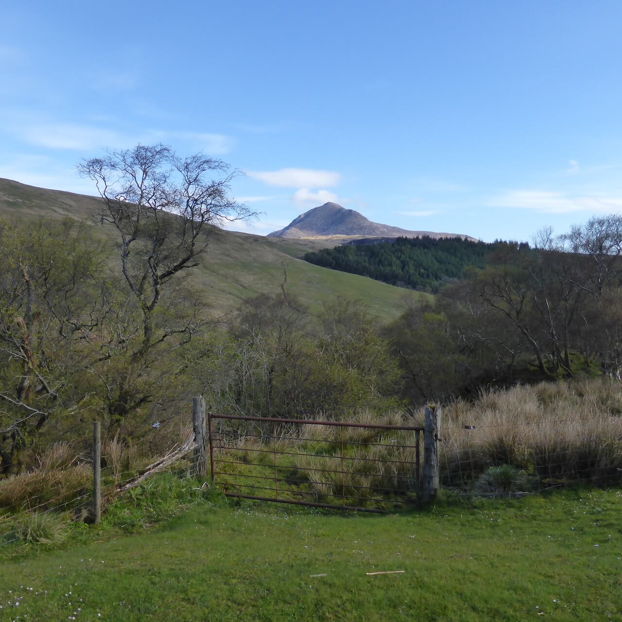
This is a short but challenging loop around two high roads that cut across the middle of Arran. From the top there are far reaching views across to the Kintyre Peninsula and over the Firth of Clyde and a good chance to spot birds of prey as they glide above the hills.
Route Summary
-
- Distance
- 29 miles / 47 km
-
- Time
- 02:34
-
- Ascent
- 2,460 feet / 750 m
-
- Difficulty Level
- Strenuous
-
- Terrain
- Road
-
- Start Point
- Brodick
-
- End Point
- Brodick
-
- How to Get There
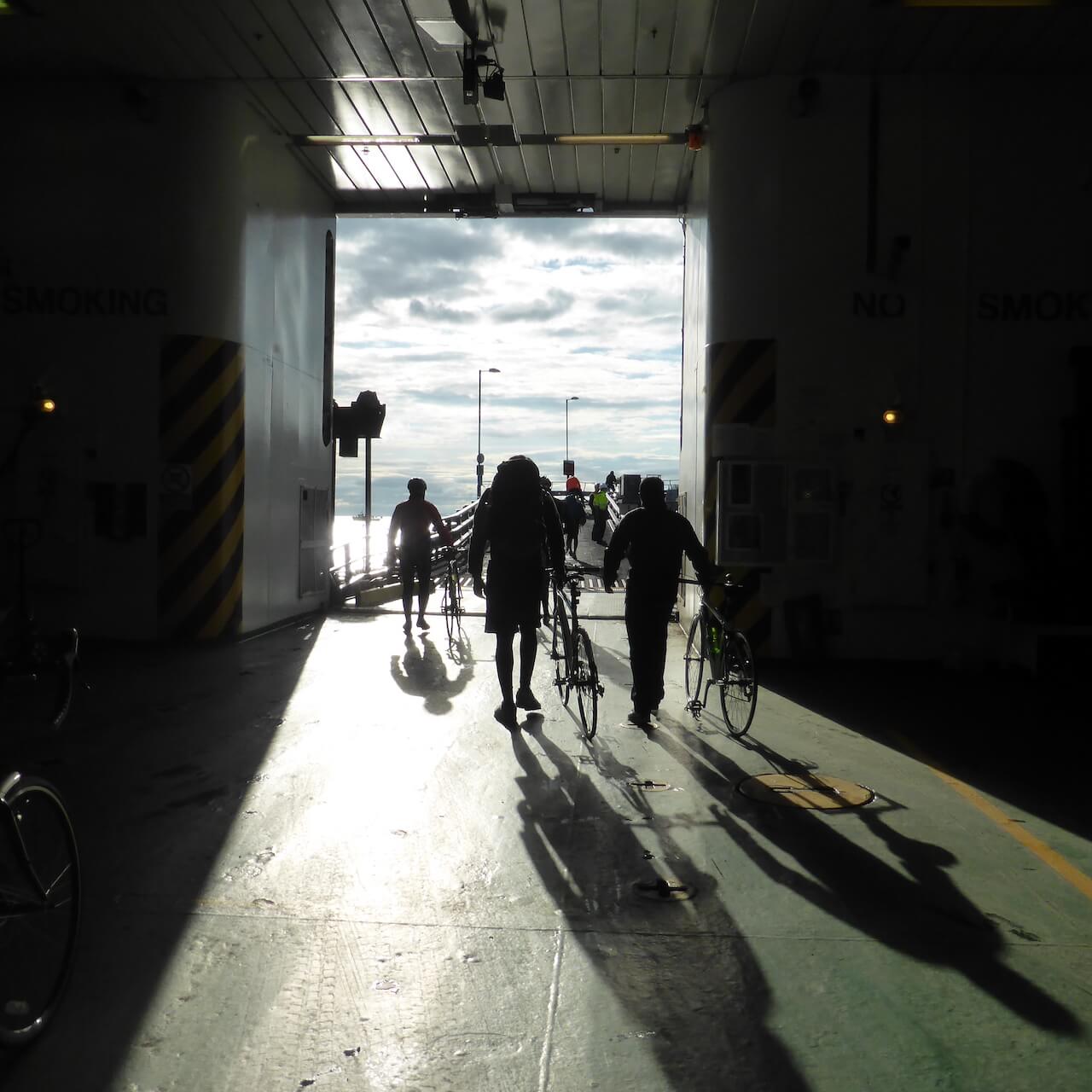
The Isle of Arran is easily reached via ferry from the town of Ardrossan and the ferry terminal is right beside Ardrossan Harbour railway station.
-
- Downloads
- Download GPX
Route Map
Gallery
Route Reviews
If you would like to send a review of Arran Loop via The Ross Road and String Road cycle route, please email us
